African Geomatics
UAV Surveys
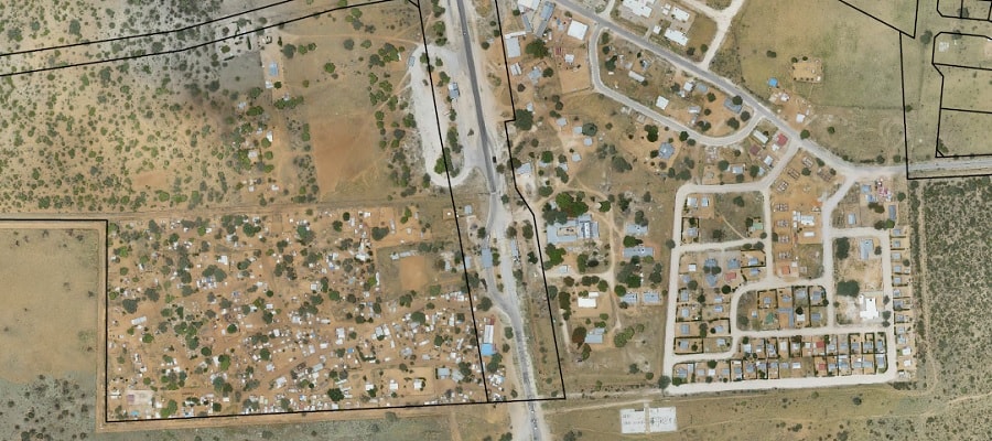
Photogrammetry is the science of making measurements from overlapping aerial images. The input into photogrammetry are raw photographs, and the output is typically an orthoimage and a digital elevation model (DEM). Or in other words, photogrammetry is the process of using overlapping aerial images to extract exact ground positions.
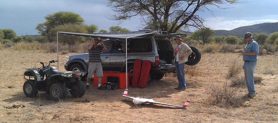
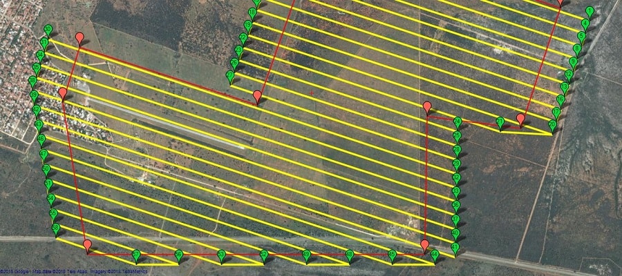
The success of a UAV survey is, to a very large extent, dependent on pre-flight planning. We make use of the open source “Mission Planner” which has a Google Earth backdrop and makes this step relatively easy. This stage allows you to plan the whole flight mission by selecting the mission area, the flying height, the camera details, and the amount of overlap/sidelap.
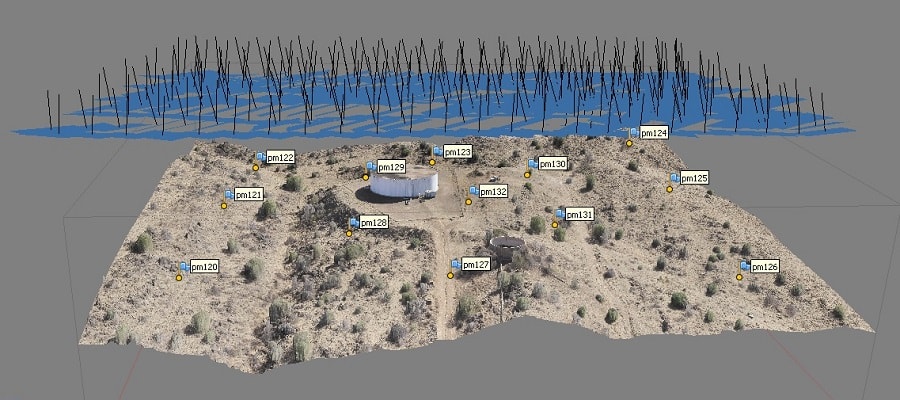
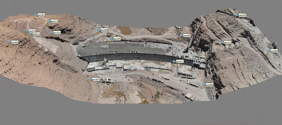
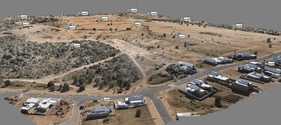
In order to improve the geometric accuracy and to georeference the final orthoimage and other by-products of UAV surveys, use is made of Ground Control Points (GCPs). GCPs are built and surveyed within the mission area prior to the actual UAV flight, and are marks on the ground that are visible on the images. Where possible they should be evenly distributed over the mission area to ensure accurate results.
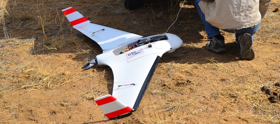
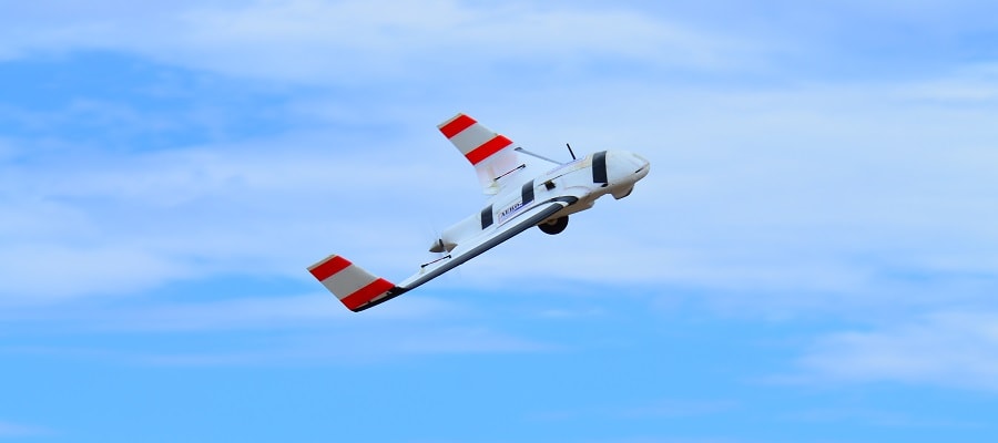
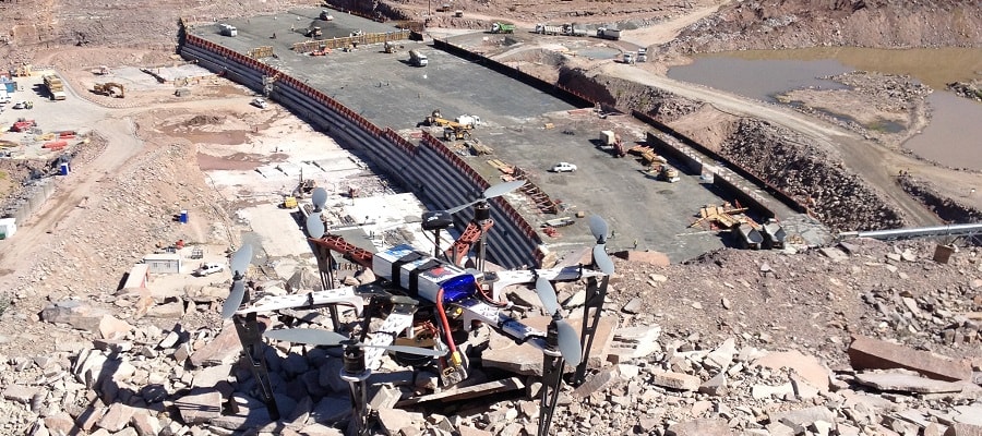
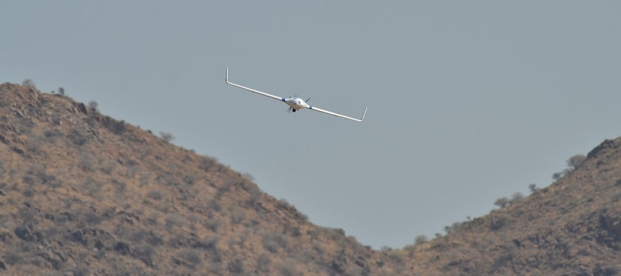
Aerial photography is the taking of photographs from an aircraft or other flying object, in this case from an UAV. The images are captured at the flying height and at the intervals determined during the Flight Planning. In order to produce high quality images, the camera setting are very important and we have experimented a lot with these parameters to achieve optimum results for our cameras.
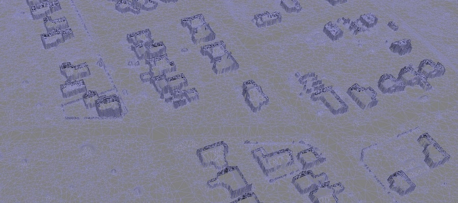
With Photogrammetric Processing Software the process of extracting exact ground positions is nearly automated and delivers a variety of products such as orthoimages, point clouds, Digital Elevation Models (DEMs), Digital Terrain Models (DTMs), etc. We make use of the photogrammetric processing software Agisoft Metashape for this purpose.
The deliverables of a UAV survey differ from project to project and may include any of the following:
- Digital Orthoimage
- Contours
- Point Clouds
- Digital Elevation Model (DEM)
- Digital Terrain Model (DTM)
- Coordinates of the Ground Control Points (GCPs)