African Geomatics
Our Projects
In the last 20 years, we have worked on many interesting and challenging projects.
Below is a selection of some of our projects.
Geodetic Control
ITRF for Namibia
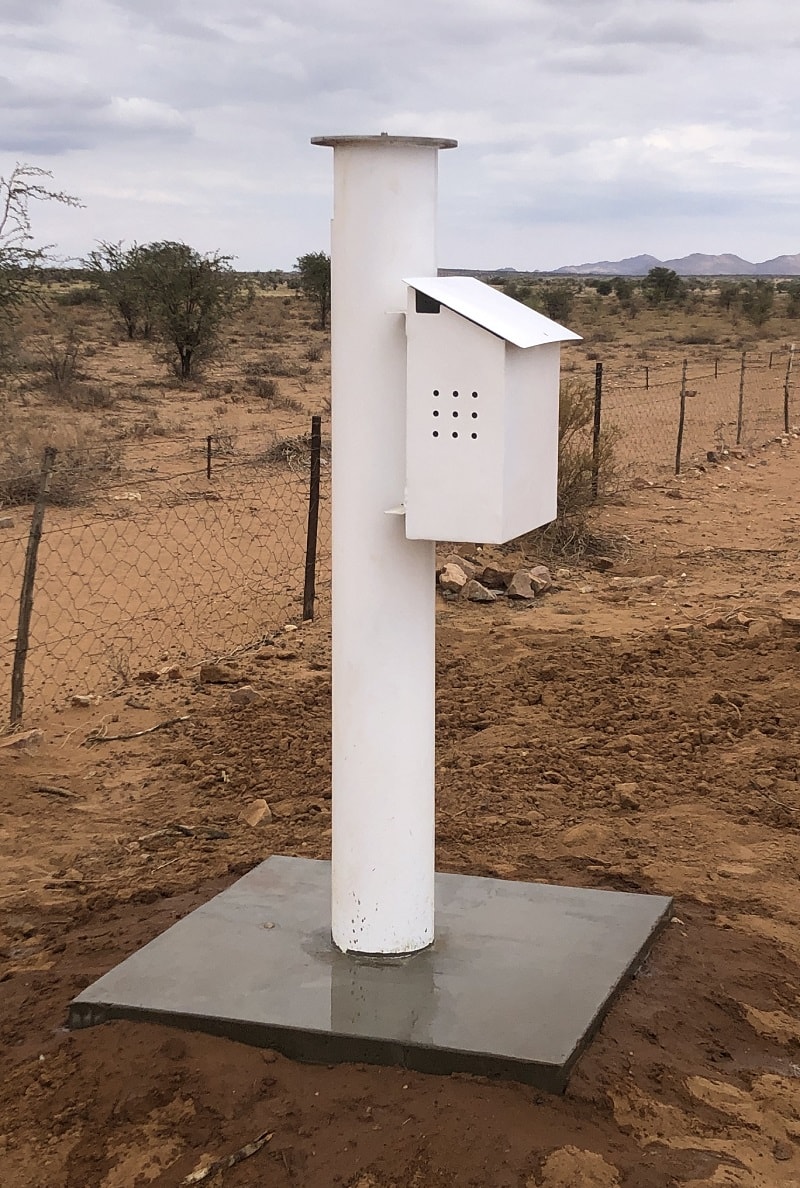
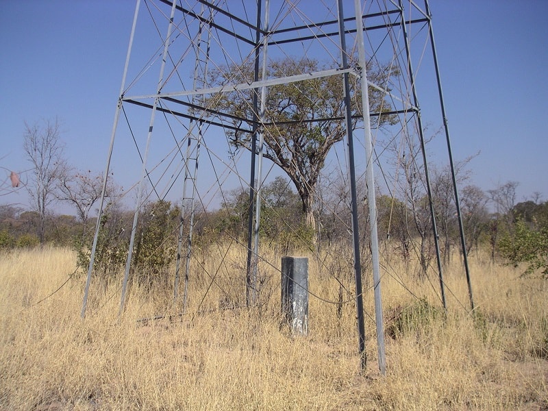
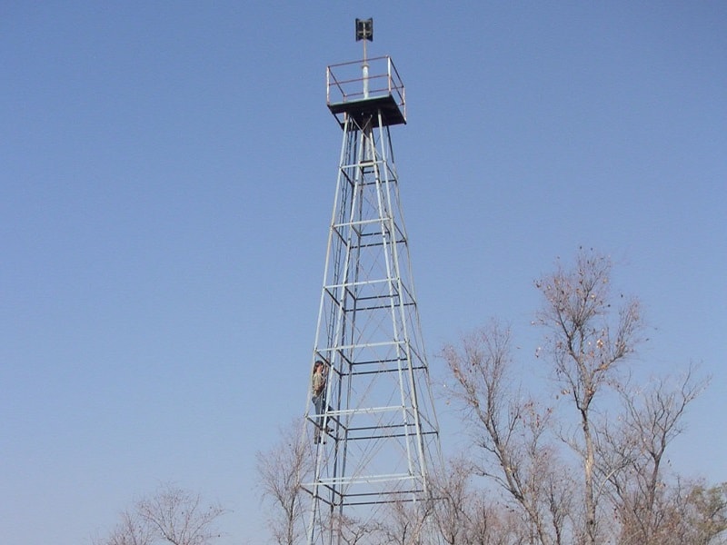
In 2005 the Surveyor-General’s office established Namibia’s Zero order ITRF network on the ITRF2000, epoch 2005.0, consisting of 22 zero order stations.
Since then we have been actively involved in densifying this network to a first order network. In 2008 we were awarded the tender for the design of a network of first order stations, which we have successfully completed in the same year. The report was entitled ‘First Oder Geodetic Network Design for Namibia’ and was handed over to the Surveyor-General’s Office in June 2008.
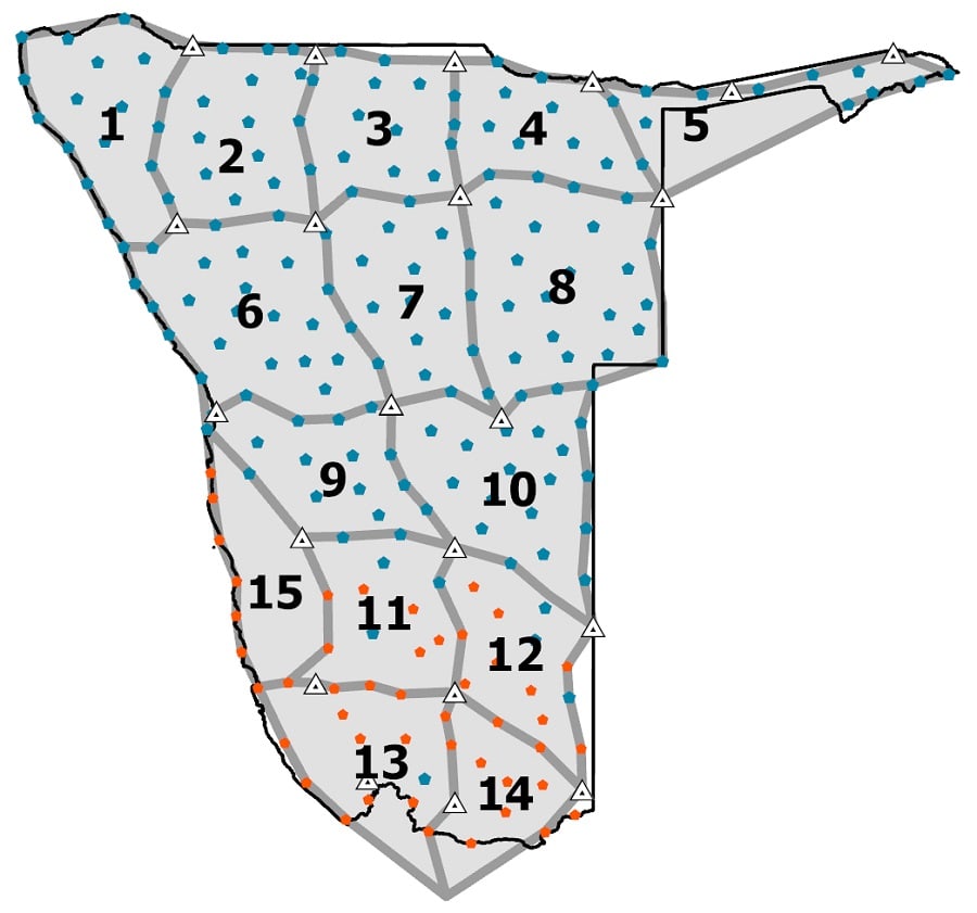
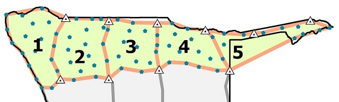
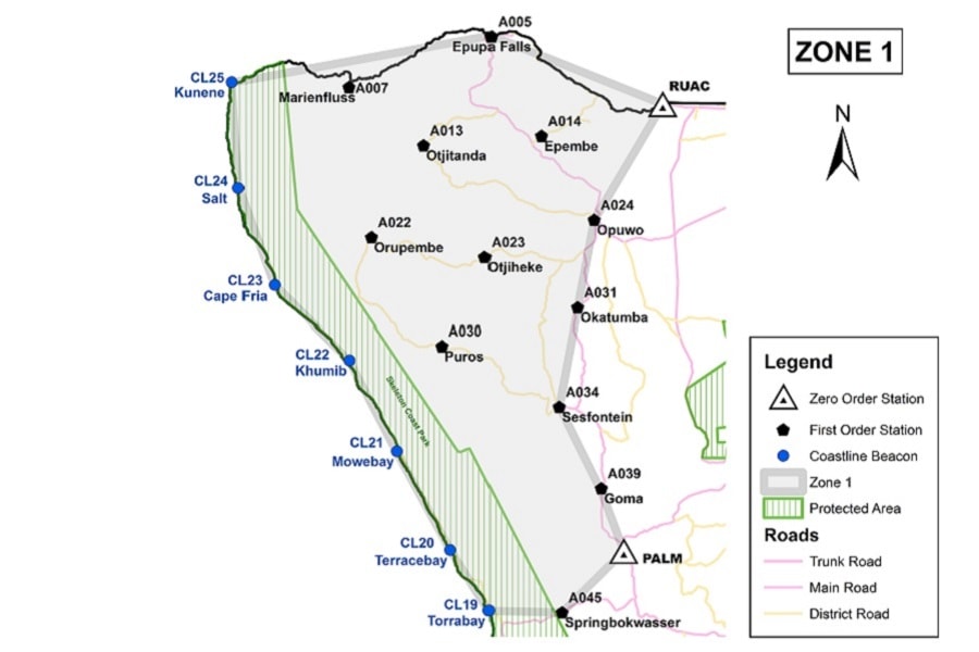
Namibia was split up into a total of 15 project zones.
Since 2008 all first order station in project zones 1 to 10 were constructed, leaving only project zones 11 to 15 to be completed. We have constructed the first order stations in project zones 4 and 5 in 2010, 7 and 8 in 2012, and 9 and 10 in 2020. The first order stations in project zones 1, 2, 3 and 6 were constructed by another survey company between 2010 and 2013.
The main reason for the slow completion of the construction of all first order pillars is a lack of funding.
In addition to the construction we have also successfully carried out the observation campaign, processing and reporting for project zones 1 to 5 with the scientific Bernese GNSS processing software during 2015 and 2016. Coordinates in ITRF2000 epoch 2005.0 as well as in the ITRF2008 were calculated.
Unfortunately, as with the construction, a lack of funding makes progress on the observation and processing part on this project very slow.
Unfortunately, as with the construction, a lack of funding makes progress on the observation and processing part on this project very slow.
Cadastral, Engineering and UAV Surveys
Neckartal Dam Project
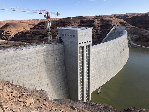
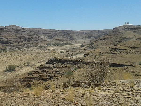
The Neckartal Dam is located in the Fish River in the Karas region. It is the largest dam in Namibia and has almost three times the capacity of the second largest dam, the Hardap Dam further upstream. Construction of the Neckartal dam started in 2013 and was completed in 2018.
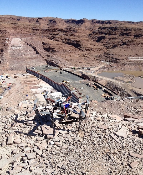
We have been involved with the Neckartal dam project as early as 2009, where we carried out the ground work for a Lidar survey of the dam basin and the land suitable for agricultural purposes in the vicinity. This first control network then formed the basis for all further surveys carried out for the Neckartal dam project.
We have been involved with the Neckartal dam project as early as 2009, where we carried out the ground work for a Lidar survey of the dam basin and the land suitable for agricultural purposes in the vicinity. This first control network then formed the basis for all further surveys carried out for the Neckartal dam project.
One major challenge of the dam site was its remoteness being approximately 30km from the nearest tar road in very untamed terrain. When it was apparent that the dam would be constructed we got another appointment to survey the control for the access road in 2011. After the access road was completed we were still engaged with various tasks during the project up to 2019.
The additional tasks were the following:
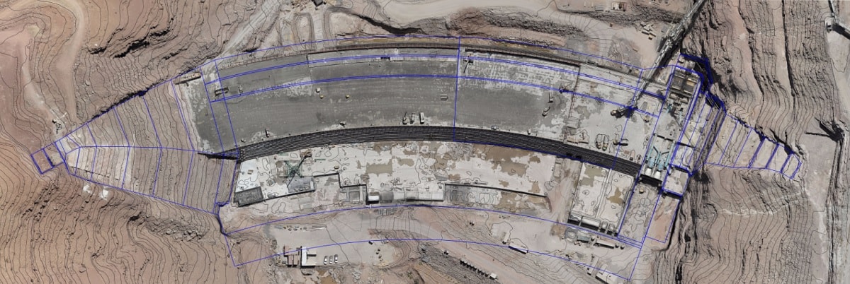
- Survey of the forced centering pillars at the dam site, the abstraction works and along an 8.5km long pipeline from the abstraction works to the holding dam, based on our previous survey of 2009. These forced centering pillars were the basis for all setting-out surveys throughout the project duration.
- Monthly aerial UAV surveys of the dam site, the abstraction works and the quarry site from 2014 to 2016. For the dam site and the abstraction works we overlaid the design of the works with the orthoimages and the DTMs. This information was vital to our client in detecting any irregularities. Using photogrammetric survey methods for this task with UAV technology was very revolutionary at the time and this technology proved to be much faster than any conventional survey method for a project of this nature.
- In 2014 we carried out a major cadastral survey of dam site, the abstraction works and approximately 5500ha of farm land that is to be utilized for the agricultural irrigation scheme of the Neckartal project.
- Our final involvement with the Neckartal Dam was a servitude survey over the 8.5km long pipeline between the abstraction works and the holding dam for the irrigation scheme.
Geodetic Control
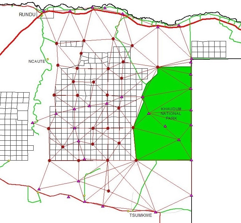
Control Points in Kavango Region
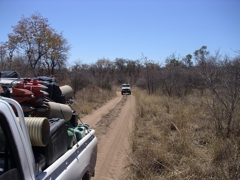
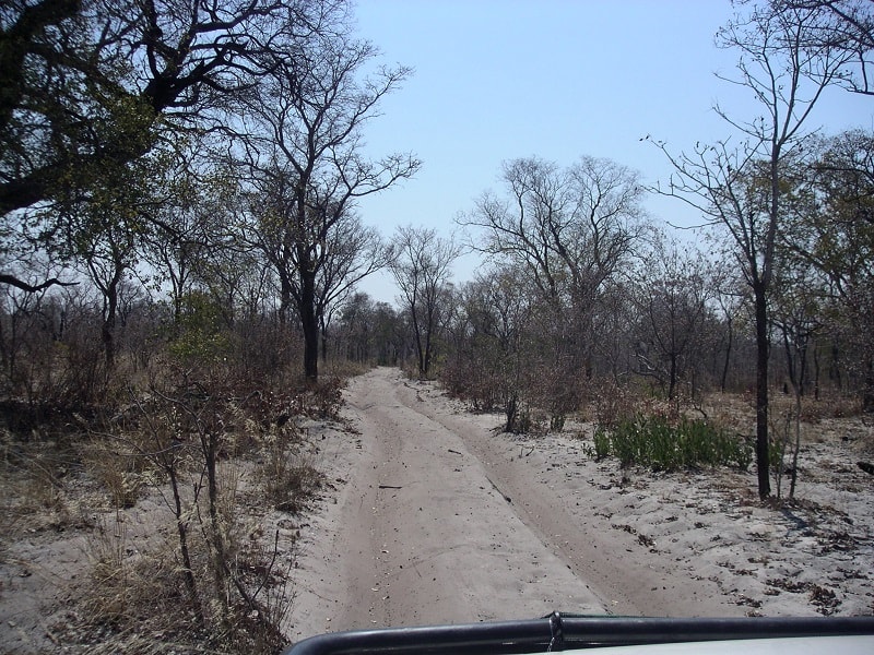
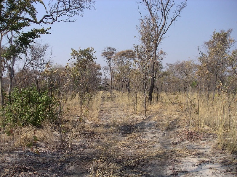
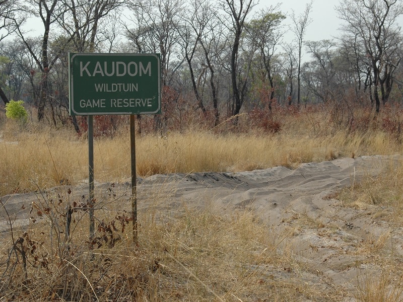
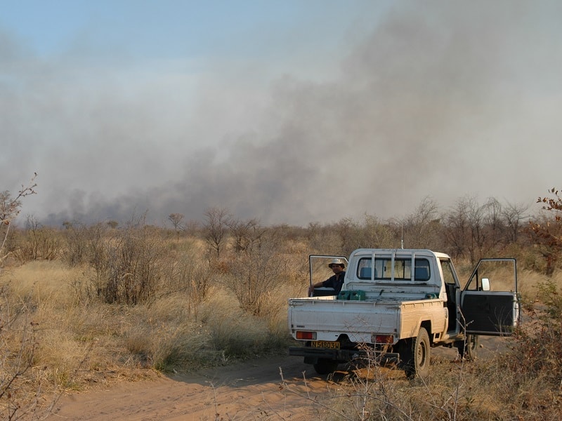
Trigonometrical survey control is very sparse in northern Namibia. In 2003 and 2004 it was decided by the Namibian Government to survey some 275 new farms in the Kavango West Region. Each farm is of the order of 2500 ha and the total area that was to be developed were some 6500 km², i.e. an area of some 65 km x 100 km. The area is located just west of the Khaudum National Park and is very inaccessible by any mode of transport due to thick sand and only a few old tracks.
We were appointed by the Surveyor-General’s office to break down the existing trigonometrical network in the area to one control point every ±20km. The purpose of this breakdown was to have sufficient survey control in the area to survey the 275 farm do a high degree of accuracy.
We were appointed by the Surveyor-General’s office to break down the existing trigonometrical network in the area to one control point every ±20km. The purpose of this breakdown was to have sufficient survey control in the area to survey the 275 farm do a high degree of accuracy.
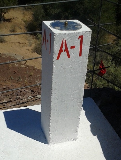
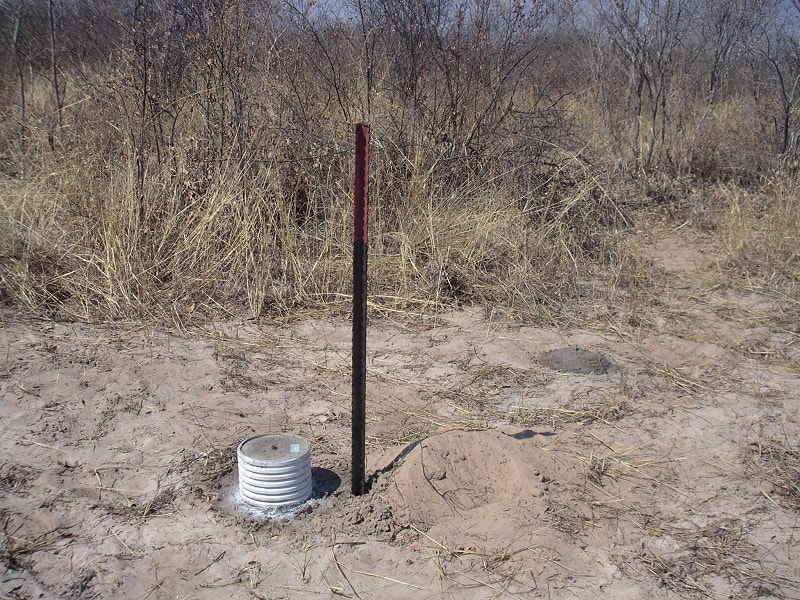
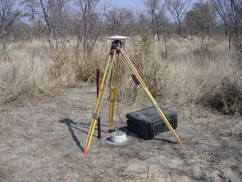
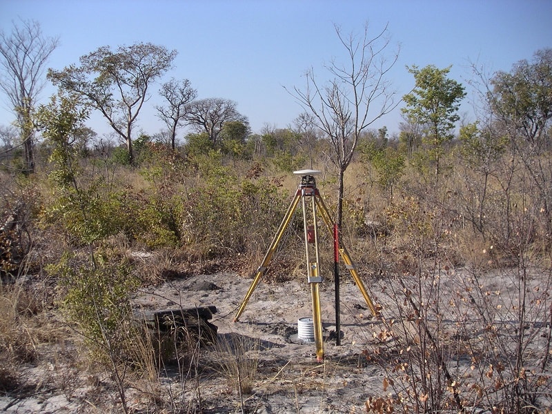
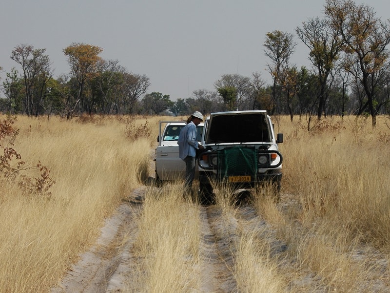
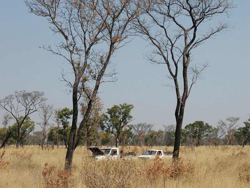
We constructed a total of 29 control points, most with witness marks. These were then connected to the few trigonometrical beacons in the area with static GNSS survey methods. The total network area covered some 180km by 125km, all in thick sand with a maximum speed of some 40km/h.
We constructed a total of 29 control points, most with witness marks. These were then connected to the few trigonometrical beacons in the area with static GNSS survey methods. The total network area covered some 180km by 125km, all in thick sand with a maximum speed of some 40km/h.
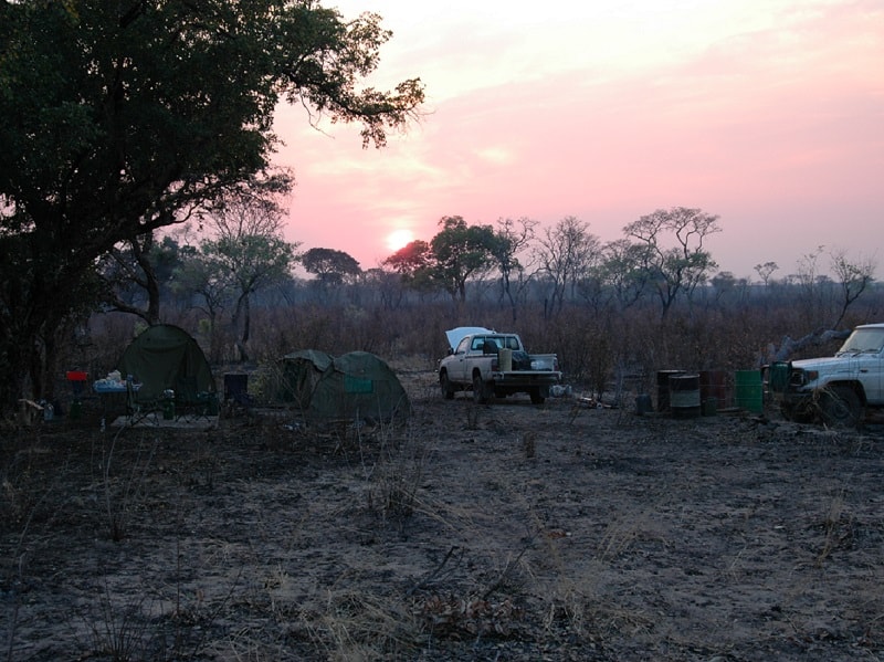
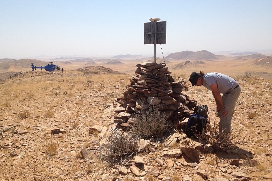
This project was very challenging in term of logistics. Getting enough material to each point for the construction thereof, ensuring that the GNSS receivers were running long enough to have enough common observation times between stations, and all this without any communication between the survey teams. Years later in 2018 we reused some of the 29 control points to survey new first order ITRF pillars on the Schwarzeck datum in the area, and were very happy to find most of the control points in good condition.
UAV and Cadastral Surveying
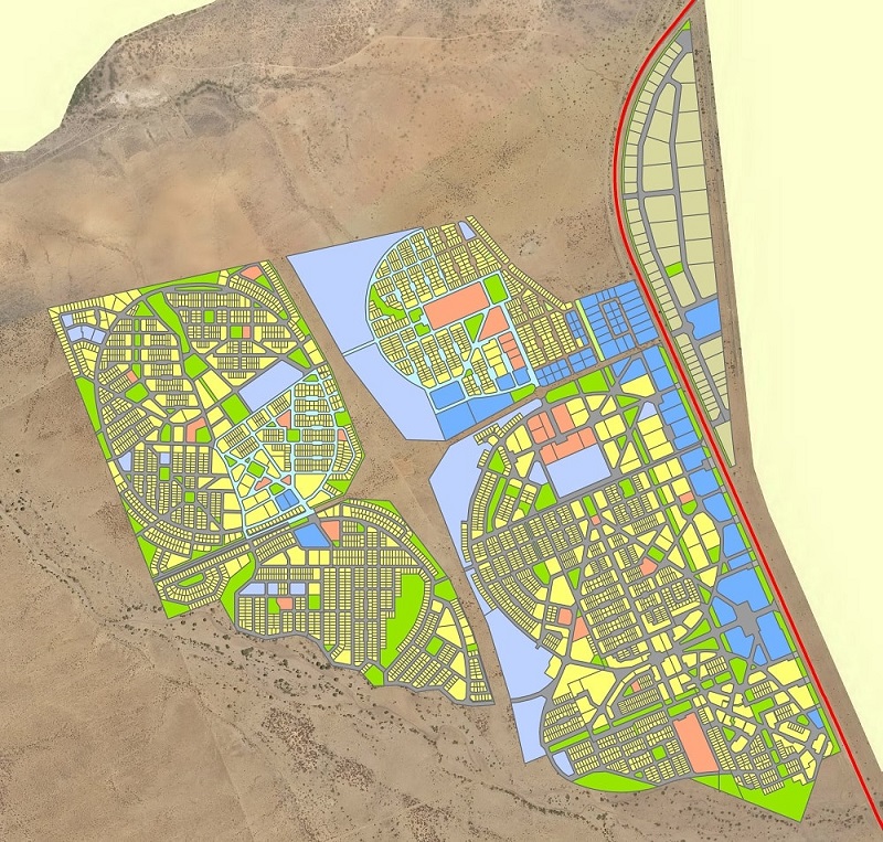
Osona Township
Osona Village is a 1100 ha mixed used development currently being developed in the Municipal area of Okahandja (https://vimeo.com/184540116). Osona Village will eventually constitute housing, commercial, retail services, agricultural and industry and educational facilities and comprise approximately 10,000 dwellings. Currently the main focus is however on affordable quality housing.
Our firm has been actively involved throughout the course of the project. We have produced the orthoimage of the 1100 ha and contours at 0.5m intervals which was used for all urban design / town planning purposes. In addition we have also carried out aerial UAV surveys of the Osona reservoir site, and several surveys to monitor the development of Osona Village.
On the cadastral side we have surveyed the initial portions in 2013 that were acquired for the purposes of the Osona Village development. Since 2013 we have surveyed a total of 14 extensions of Osona Village, corresponding to approximately 4300 erven.
Engineering Surveying
Road Surveys
Through the years African Geomatics has been involved with many road projects. The surveys were mostly for detail design purposes and different survey strategies were applied for different circumstances. On all roads first class survey control as established with GNSS survey techniques and digital spirit levelling. DTMs were then created either with GNSS survey methods, UAV survey or outsourced Lidar survey.
African Geomatics was proudly involved with the following major road projects:
- Aus – Rosh Pinah
- Rosh Pinah – Oranjemund
- Okahandja – Karibib
- Ondjiva – Cuvelai (Angola)
- Nkurenkuru – Elundu
- Swakopmund – Walvis Bay
- Khorixas - Uis
- Windhoek – Okahandja
- Windhoek – Hosea Kutako International Airport
Geodetic Control
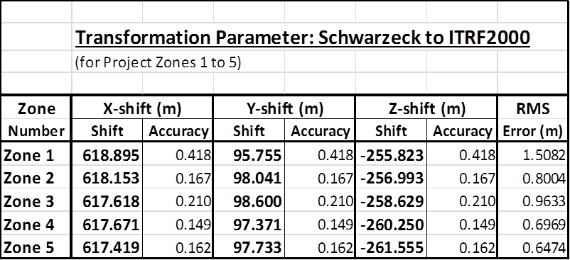
Local Transformation Parameters - Northern Namibia
In Namibia published datum transformation parameters from the Schwarzeck datum to the ITRF (WGS84 based system) are only accurate to 30m countrywide. In Northern Namibia the published parameters are known to be accurate to some 8 to 15m.
During our observation and processing campaign in 2015 and 2016 of project zones 1 to 5 (see ITRF for Namibia) in Northern Namibia, we also included Trigonometrical Beacons in the Schwarzeck system to determine transformation parameters for each Zone.
During our observation and processing campaign in 2015 and 2016 of project zones 1 to 5 (see ITRF for Namibia) in Northern Namibia, we also included Trigonometrical Beacons in the Schwarzeck system to determine transformation parameters for each Zone.
Local transformation parameters between the Schwarzeck datum and ITRF2000 datum were calculated for each of the five zones.
Compared to the world, each zone is relatively small, and unless the points used to compute the transformation parameters are widely separated, it is difficult to isolate the effect of a rotation from a pair of translations. The most common approach is to assume that the rotations and the scale factor are negligible small and to determine the translations only. This is achieved by differencing the Cartesian coordinates of common points and taking the weighted mean. This was the approach that we used for the computation of new parameters for the five zones.
The results for the five zones are listed in the table, together with the error estimates.
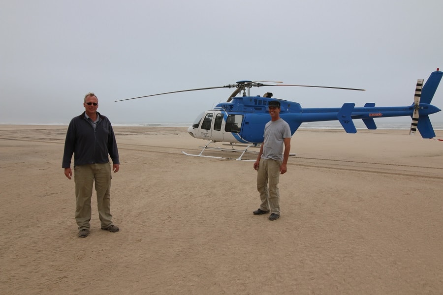
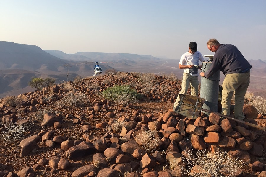
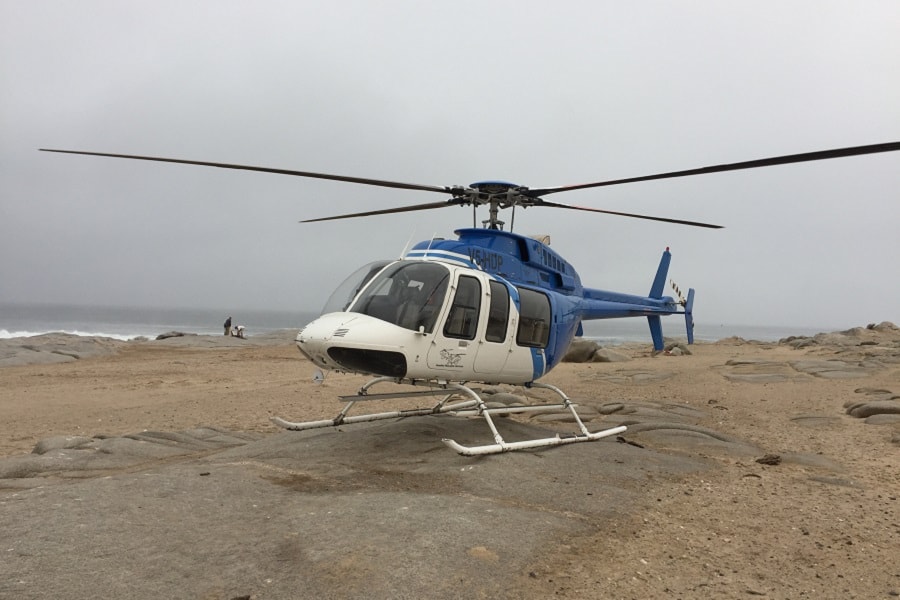
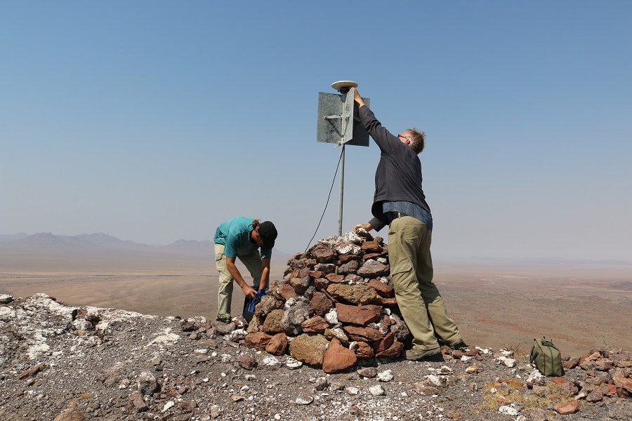
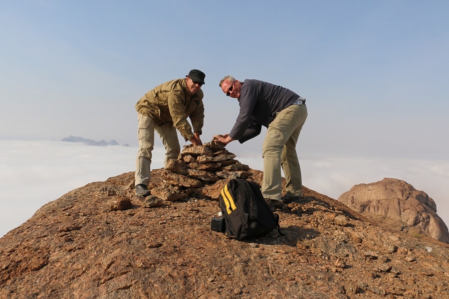
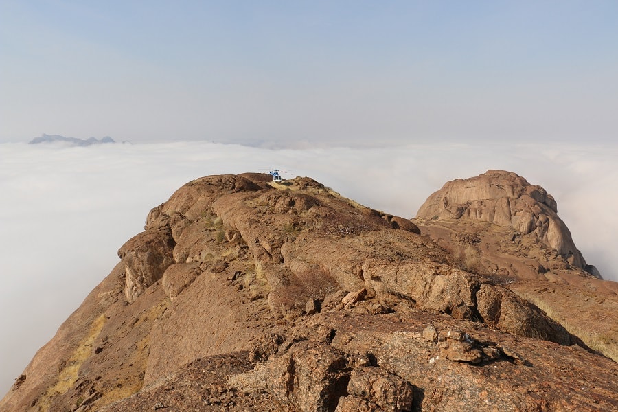
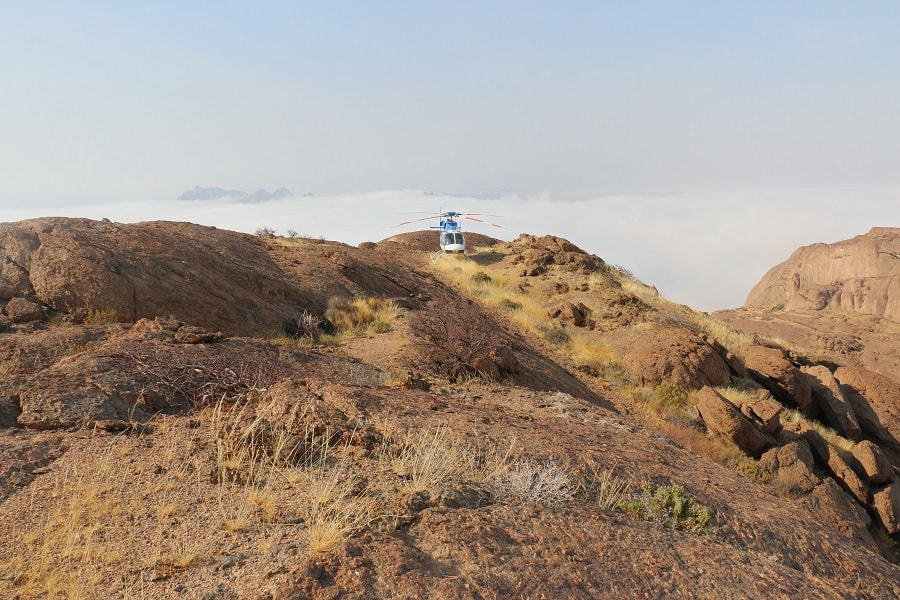
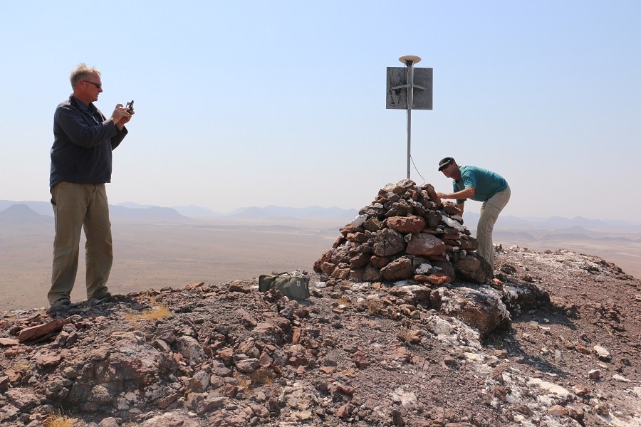
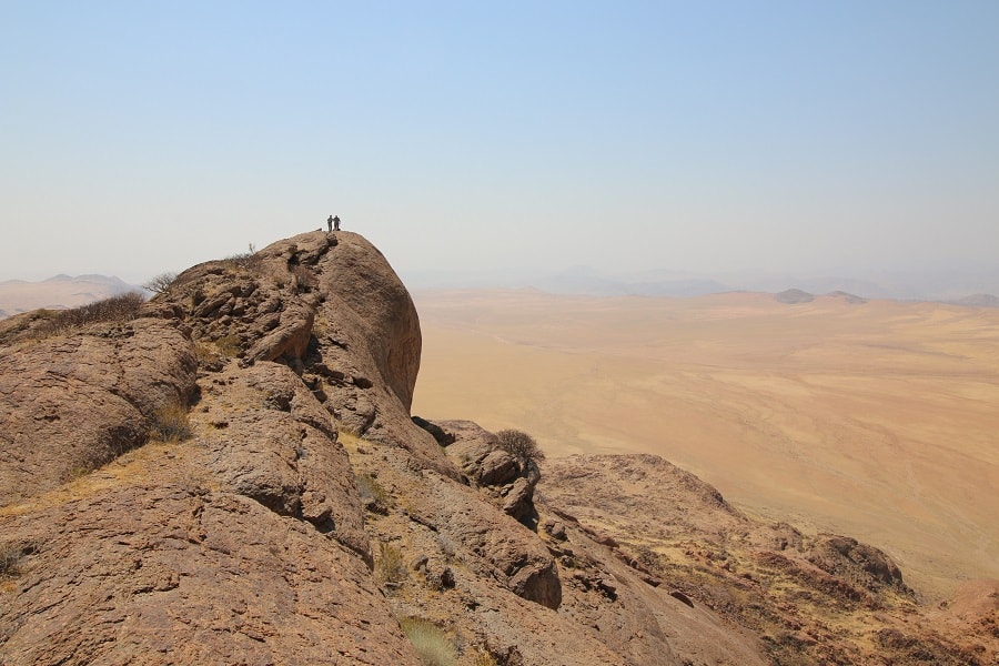
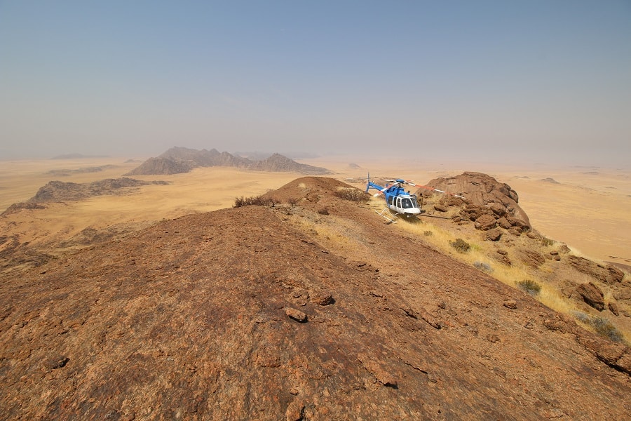
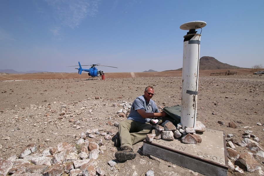
Zone 1 in the Kunene Region in the Northwest of Namibia is one of the most remote and unaccessible parts of the country. The terrain is mostly montaineous, there aren't many roads and the beacons along the coastline lie in the restricted Skeleton Coast conservation area.
Zone 1 in the Kunene Region in the Northwest of Namibia is one of the most remote and unaccessible parts of the country. The terrain is mostly montaineous, there aren't many roads and the beacons along the coastline lie in the restricted Skeleton Coast conservation area.
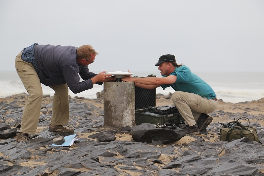
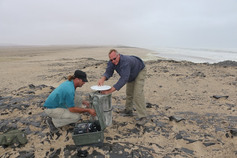
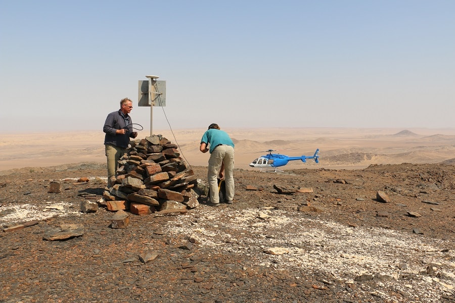
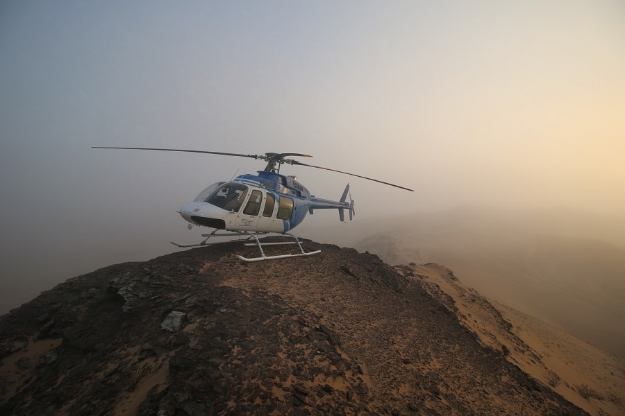
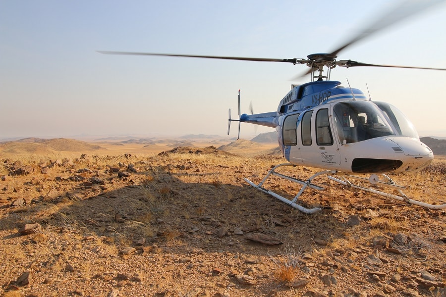
A helicopter was used to reach the Coastline Beacons from Torra Bay up to the Kunene River mouth. The helicopter was also used to reach the Trigonometrical beacons on the high mountains. High skills were required of the helicopter pilot as the fog from the coast often reached many kilometers inland. Sometimes only the mountain tops were visible above the clouds. (Photos courtesy of helicopter pilot)
Zone 1 - Observations
Zone 1 - Observations
Zone 1 - Observations
Zone 1 - Observations
Zone 1 - Observations
Zone 1 - Observations
Zone 1 - Observations
Zone 1 - Observations
Zone 1 - Observations
Zone 1 - Observations
Zone 1 - Observations
Zone 1 - Observations
Zone 1 - Observations
Zone 1 - Observations
Zone 1 - Observations
Zone 1 - Observations
Zone 1 - Observations