





African Geomatics
Engineering Surveys
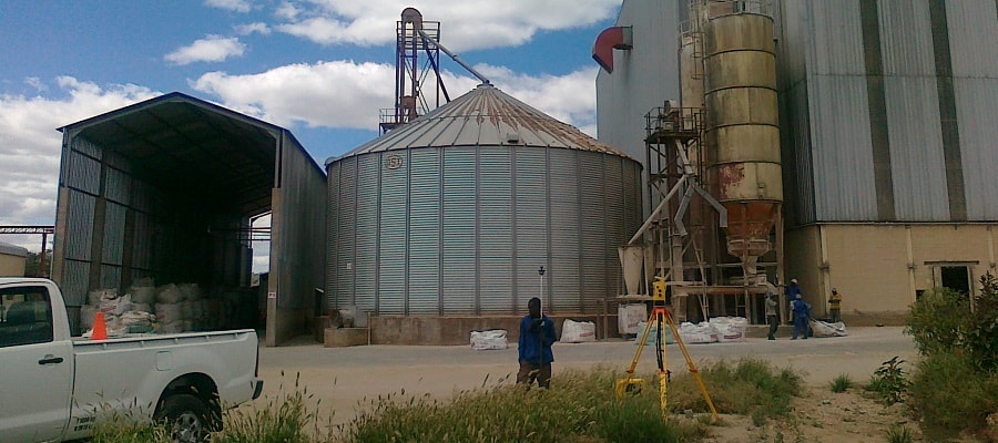
Engineering surveys provide the measurements and setting-out information required for construction and infrastructure projects. They support the positioning, alignment and level control of structures such as buildings, roads and other civil engineering works, to ensure that construction follows the design.
Construction surveys establish the positions, dimensions and elevations required to set out structures on site. This includes setting out building corners, foundations, grid lines and other reference points according to the construction drawings. Surveying is also used to check positions and levels during construction.
Stockpile surveys are used to determine the volume of materials such as sand, gravel, ore and other bulk products. Surveys can be carried out at mines, quarries and construction sites to measure stock quantities and monitor changes over time. Survey data is processed using specialised software to calculate volumes.
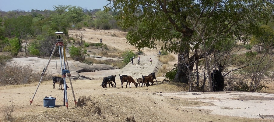
Road surveys provide the positional and elevation data required for road planning, design and construction. They can include surveys of the existing terrain, setting out the road alignment, establishing levels and checking the position and elevation of road features during construction.
Volume calculations determine the amount of material to be excavated, filled or moved during construction and earthworks. Survey data collected before and after the work, or compared with a design surface, is used to calculate cut-and-fill volumes. These calculations support earthworks planning, progress monitoring and quantity estimates.