African Geomatics
Our Services
Our team of land surveyors provides professional land surveying services in many different fields of surveying.
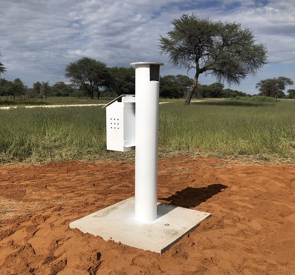
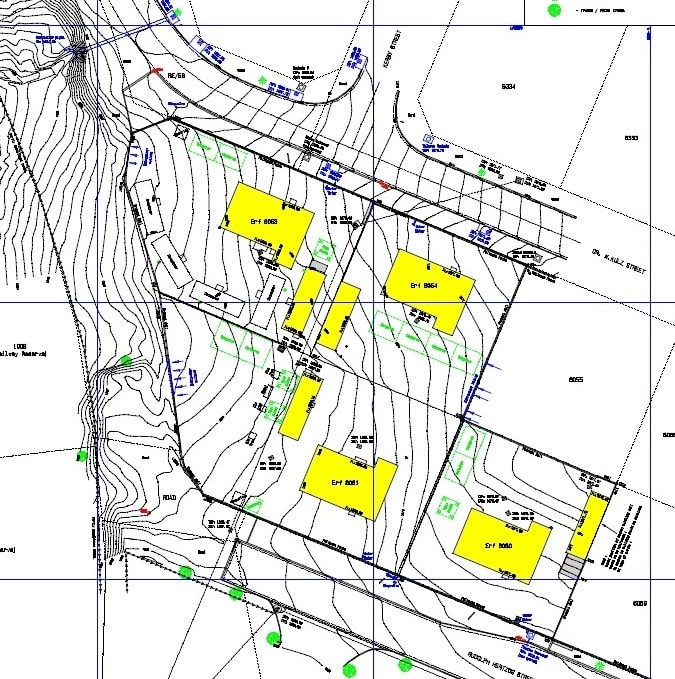
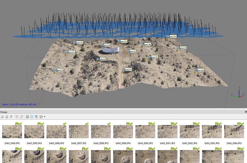
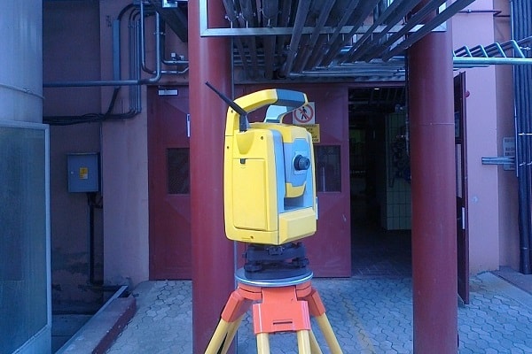
We use modern equipment which includes modern real time GPS receivers, robotic total stations, UAV and digital levelling devices. We use professional software like Trimble, Caddie, ModelMaker, Metashape, ArgGIS, etc. as well as many self-written programs to enhance our workflow.