


Welcome
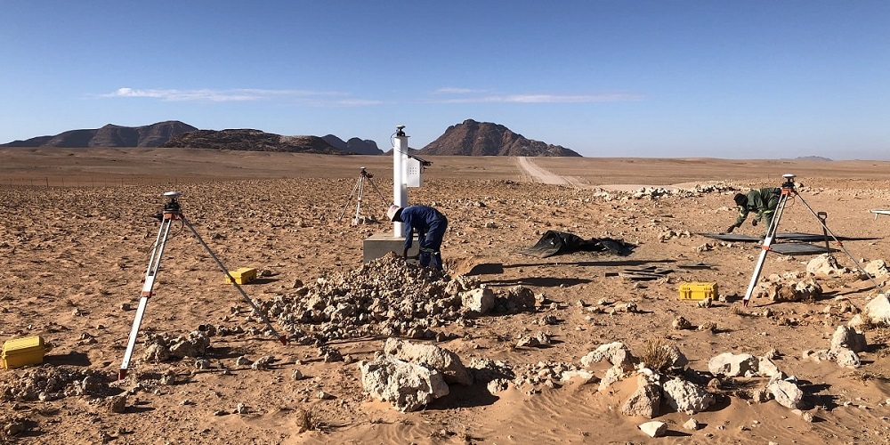
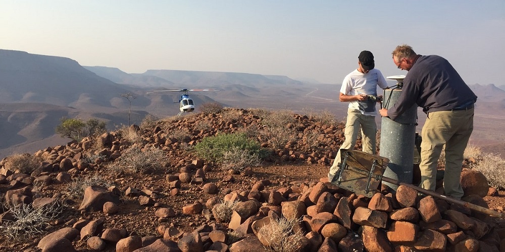
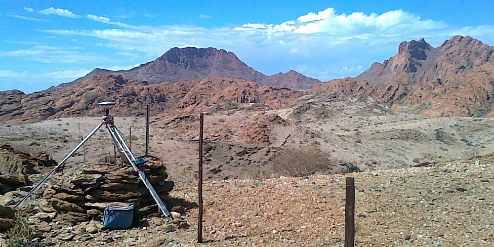
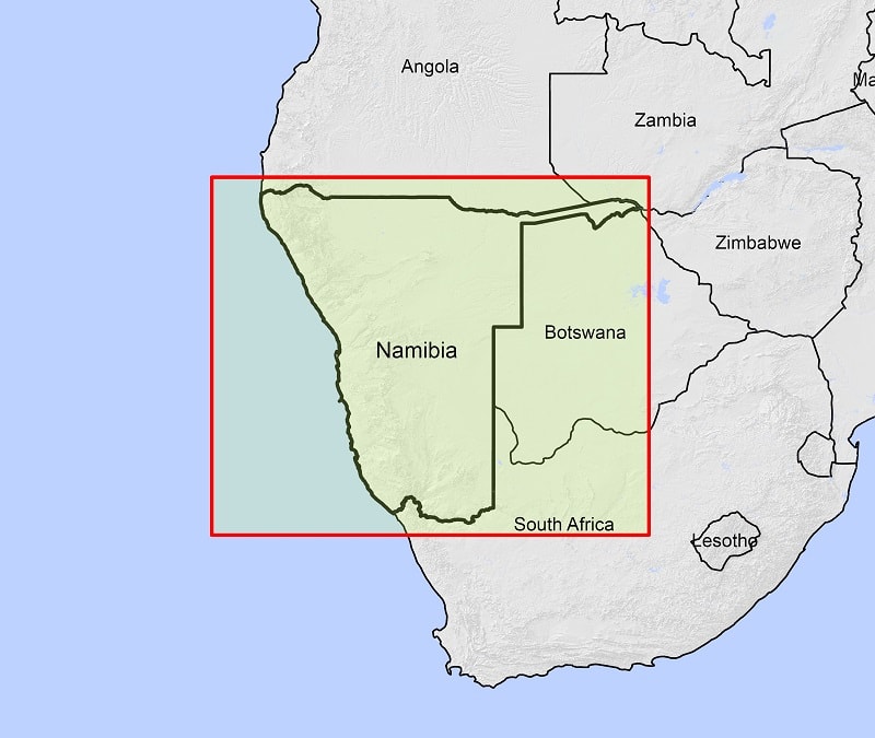
African Geomatics is a Namibian firm of Professional Land Surveyors based in Windhoek
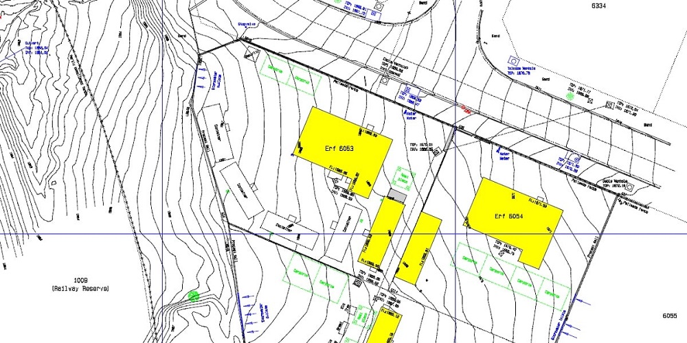
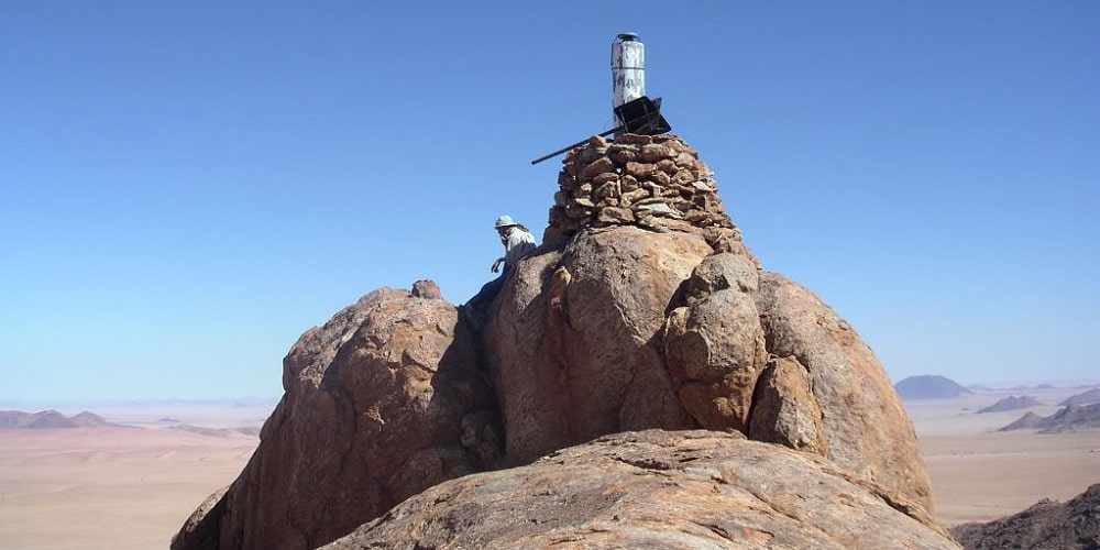
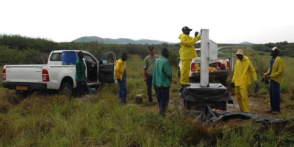
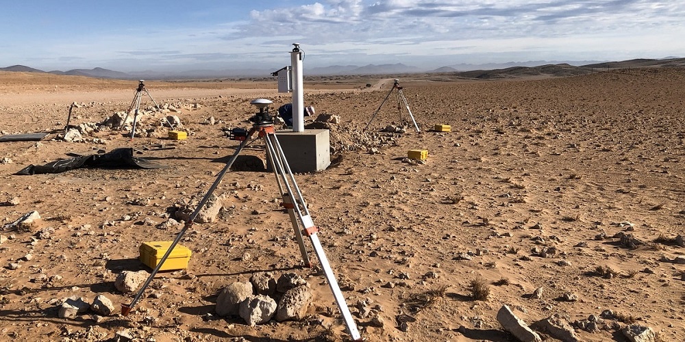
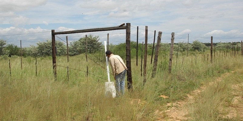
Our services include cadastral surveys, geodetic control surveys, topographical surveys and engineering surveys.
We are also experts in UAV drone surveying, mapping, GIS applications and much more. We look forward to helping you.
African Geomatics
Projects
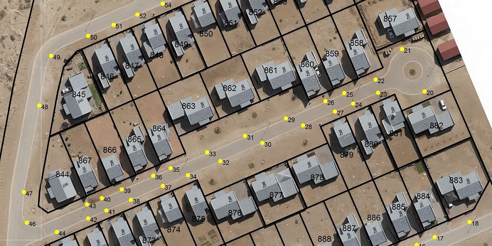
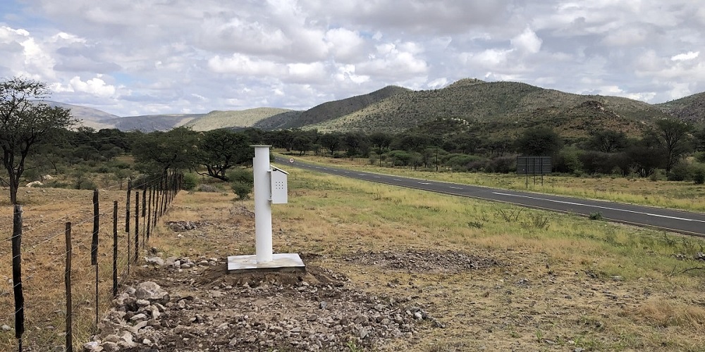
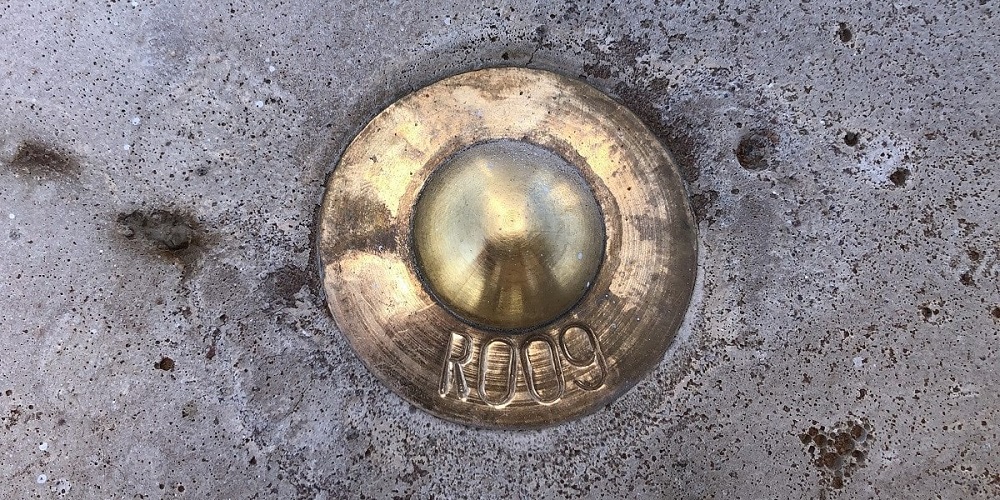
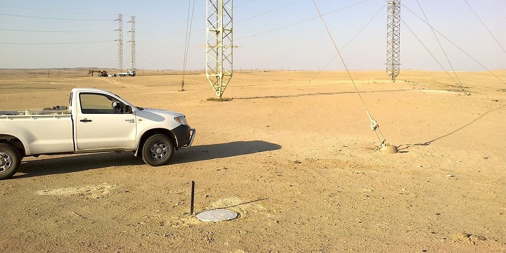
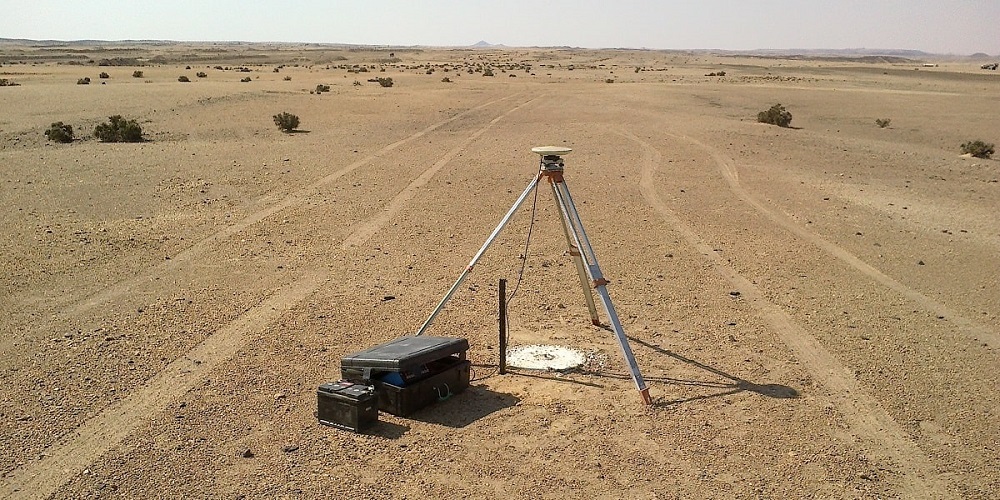
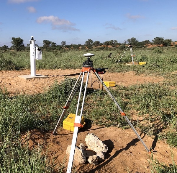
In the last 20 years, African Geomatics has worked on and completed lots of very different projects.
Links
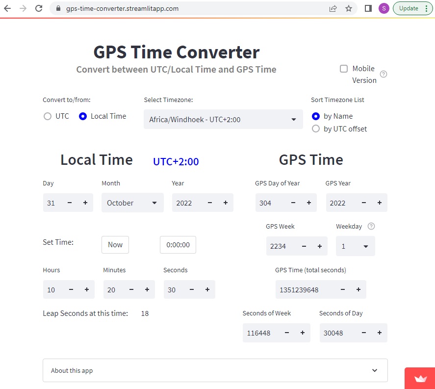
GPS Time Converter
This app converts between UTC and Local Time and GPS Time:
Links
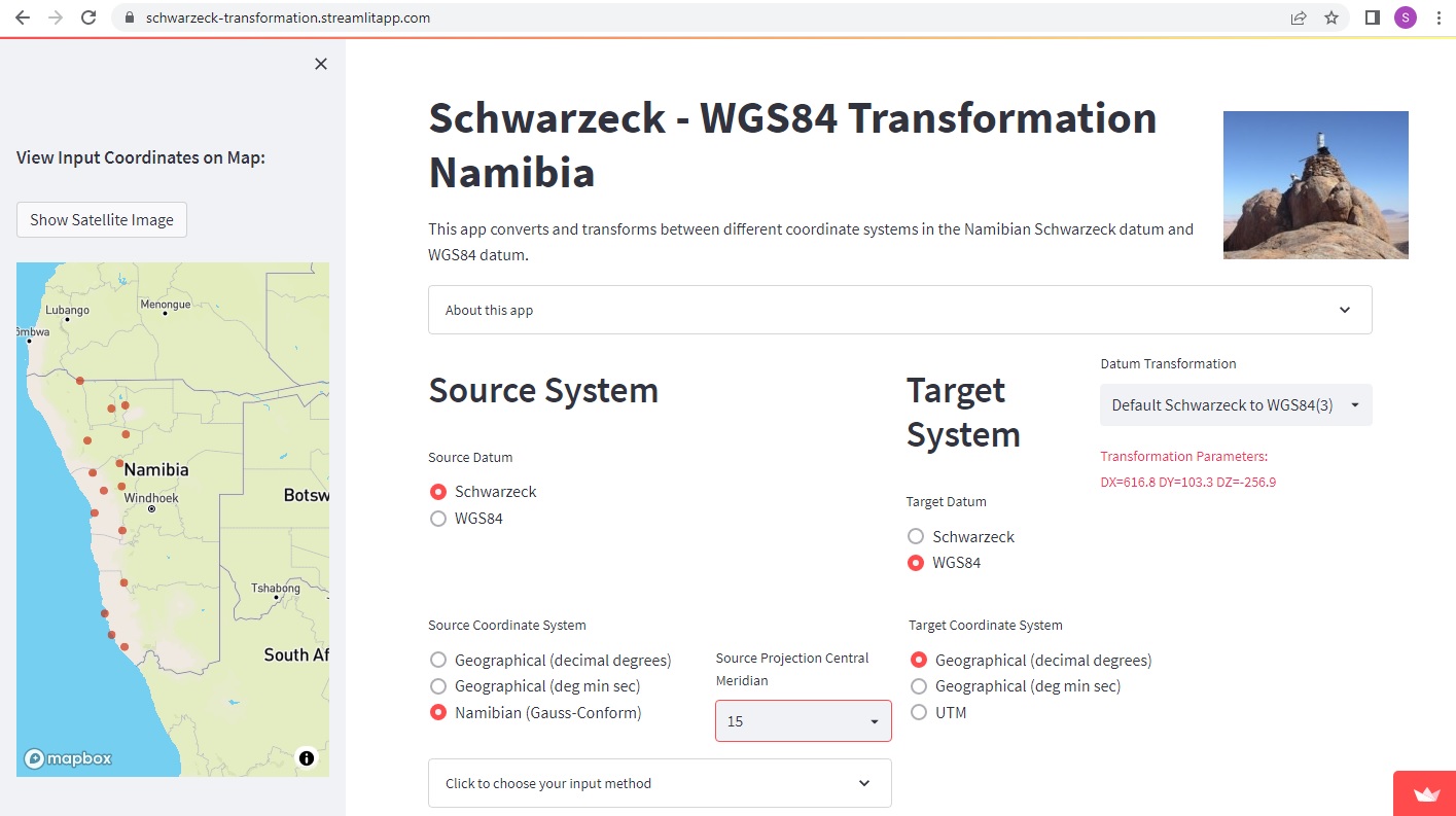
Schwarzeck Transformation
A free app to transform between different coordinate system in the WGS84 and the Schwarzeck datum is available here:
Links
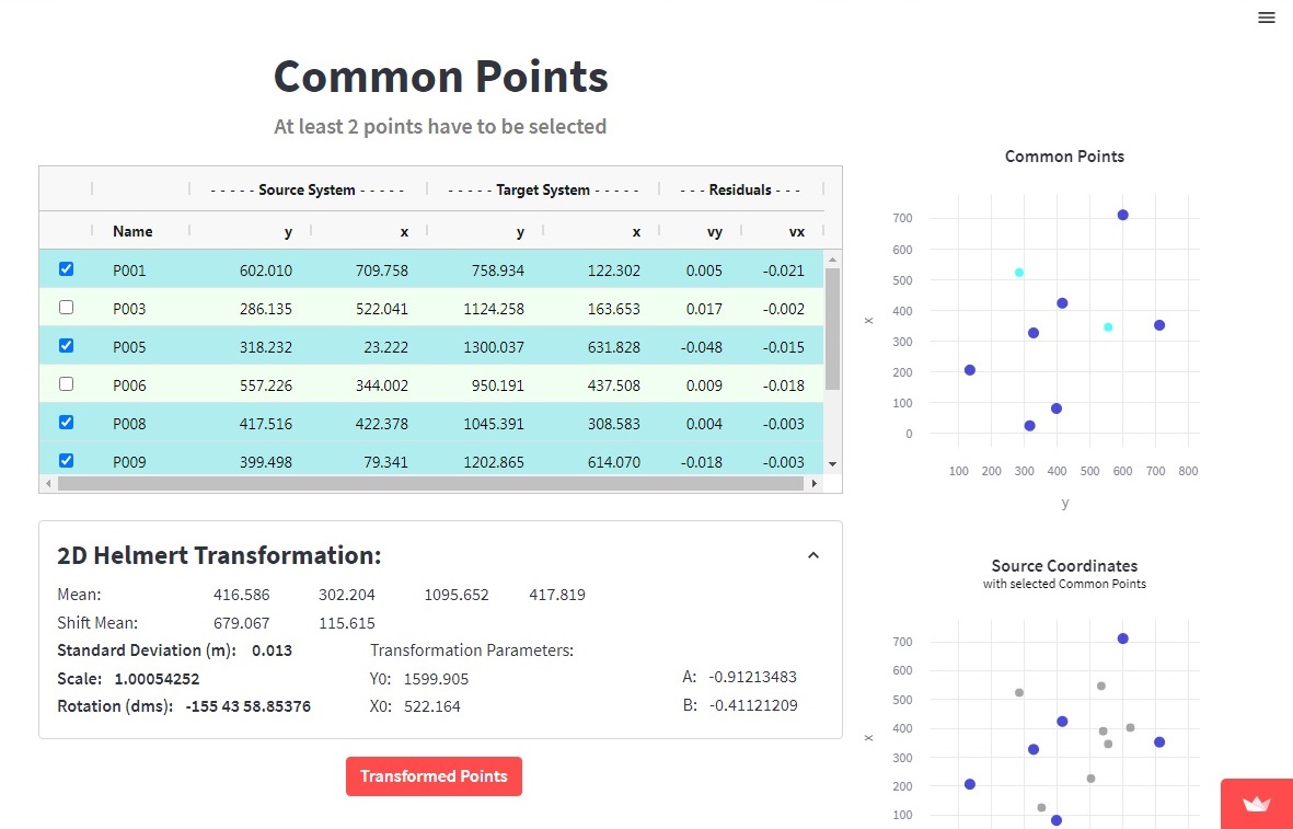
2D Helmert Transformation
A 2D Helmert transformation is used to transform coordinates from one rectangular source coordinate system to another target coordinate system. It is the most common planar transformation method in surveying.
A free app is available here: