
African Geomatics
Cadastral Surveying
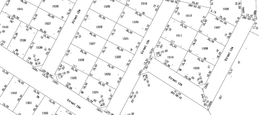
African Geomatics provides professional cadastral surveying services throughout Namibia. We establish and re-establish property boundaries, survey land subdivisions and consolidations, and carry out surveys for township development, servitudes and sectional titles.
Whether you are a private landowner, farmer, developer or professional working on a land development project, we provide the surveying expertise required to define property boundaries and support the legal registration of land.
Need a Cadastral Survey?
Whether you need to establish property boundaries, subdivide a farm or plan a land development, African Geomatics can assist with your cadastral surveying requirements.
Contact UsResources
Namibian Map Systems
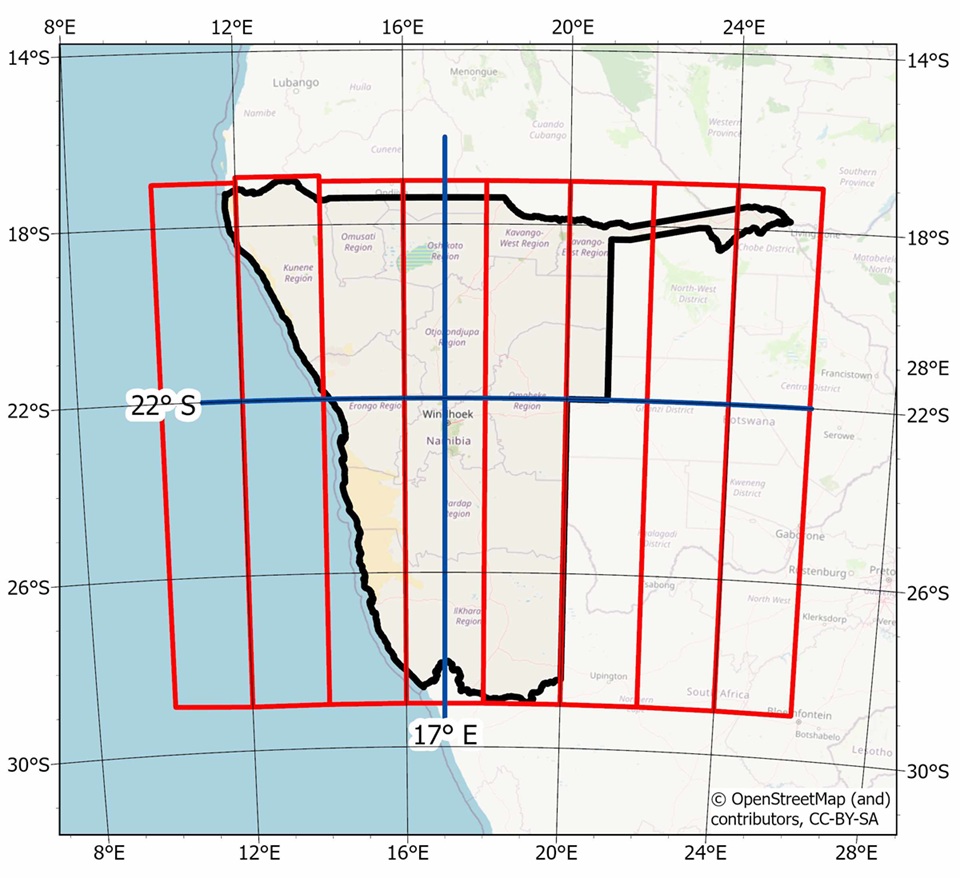
Information on Namibia’s cadastral and topographic mapping systems, including coordinate systems and datums used in surveying and mapping.
Historic topographic maps are available online: Topographic Maps of Southern Africa .