

African Geomatics
Topographical Surveys
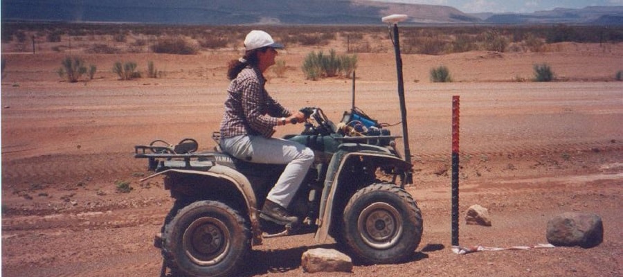
A topographical survey is a survey of the land surface. It includes natural features like the terrain, hills and rivers and manmade features like buildings, roads,etc. A topographical survey is usually the first survey before any development can take place. Planning of roads, railways, buildings is based on topographical maps.
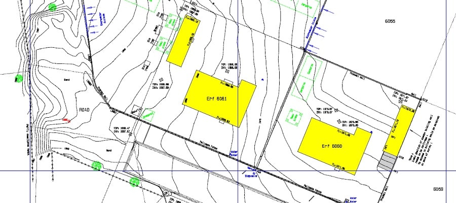
Site Surveys are required where work is proposed, may it be the construction of a building, a road, a radio tower, etc.. Site Surveys are surveys that combine Contour Plans with Detail Surveys, i.e. all details as well as the contour lines are represented on a single drawing.
A contour line joins points of equal elevation (height) above a given level, normally above mean sea level. A Contour Plan is a topographic map on which the shape of the terrain is shown by contour lines, the relative spacing of the lines indicating the relative slope of the surface. The contour interval of a contour plan is the difference in elevation between successive contour lines.
Detail Surveys are used to determine and locate features (both natural and man-made structures). These features include buildings, walls, manholes, telephoneline, powerlines, pipelines, trees, ant hills etc.. Detail Surveys generally do not include any contours lines, but only the dimensions and location of the features surveyed.
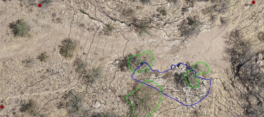
A Digital Terrain Models (DTM) is a 3D computer representation of the bare terrain. Vegetation, buildings and other features are removed digitally, leaving just the underlying terrain. DTMs are used especially in civil engineering, town planning, geodesy & surveying, geophysics, geography and remote sensing.
A Digital Elevation Model (DEM), sometimes also referred to as a Digital Surface Model (DSM) is a 3D computer representation of the earth´s surface and includes all objects on it. Unlike a DTM, vegetation, buildings and other features are not removed. This is helpful in determining the height of buildings, the perimeter and height of trees, etc.